
digital nomad surfvakantie
By Alex Nitrovic · September 8, 2026 · 9 min read

Data-anchored long-form. We use NOAA, Copernicus, OBIS, GBIF and 34,876 real airline routes to answer the specific trip-planning questions everybody else skips. How we work.
By Alex Nitrovic · September 8, 2026 · 9 min read

By Alex Nitrovic · September 1, 2026 · 10 min read

By Alex Nitrovic · August 17, 2026 · 11 min read

By Alex Nitrovic · August 11, 2026 · 10 min read

By Alex Nitrovic · August 4, 2026 · 8 min read

By Alex Nitrovic · August 3, 2026 · 10 min read

By Alex Nitrovic · July 28, 2026 · 10 min read

By Alex Nitrovic · July 27, 2026 · 10 min read

By Alex Nitrovic · July 21, 2026 · 9 min read

By Alex Nitrovic · July 6, 2026 · 11 min read

By Alex Nitrovic · July 6, 2026 · 11 min read
By Alex Nitrovic · July 6, 2026 · 8 min read
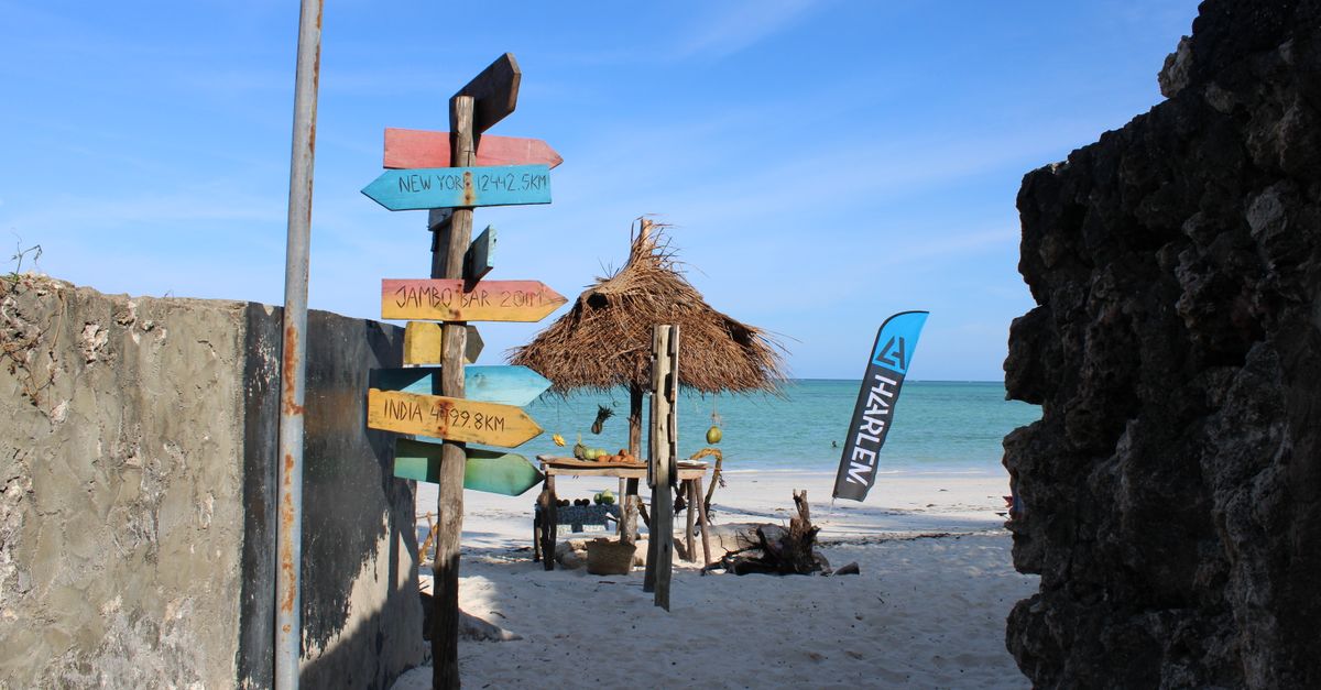
By Alex Nitrovic · July 2, 2026 · 10 min read

By Alex Nitrovic · June 16, 2026 · 11 min read
Most Lisbon divers fly to the Mediterranean in summer or save for the Maldives. The data says winter answers sit much closer to home.
Cross-referencing OpenFlights real airline routes with NOAA water-temperature data: where to dive next month, leaving from Lisbon, with water above 20°C.
By Alex Nitrovic · May 30, 2026 · 8 min read