
On a flat-calm Tuesday morning in October, the surface off Gozo's south coast reads 23 °C[1] and the swell buoy at the Malta Channel hindcast grid point sits at 0.4 m significant wave height[2]. Those two numbers — not the marketing copy on any operator page — are what make Double Arch diveable that day. From the rocky entry platform, the upper arch opens at roughly 6 m; the lower arch bottoms out around 18 m[3]; and between them a sand channel carries a gentle drift that reverses with the tide. On a bad day in February, the same site is a washing machine you shouldn't be near.
This is a site guide anchored in three datasets: Copernicus Mediterranean reanalysis for sea surface temperature and wave height[1][2], OBIS occurrence records within a 10 km radius of 36.062 N, 14.272 E[4], and Open-Meteo wind climatology for 2010–2023[5]. What we don't have — and no one publishing on this site has — is a peer-reviewed bathymetric survey, in-situ visibility logs, or a nearshore wave buoy specific to Gozo's south coast. Everything downstream of those gaps carries an asterisk, and we'll flag each one as we go.
The result is a longer, more caveated read than the "excellent visibility year-round, suitable for all levels" boilerplate that dominates search results for this query. It is also, we think, the first standalone treatment of Double Arch that treats it as a primary subject rather than a bullet in a "top ten Malta dives" listicle.
🗺️ What Double Arch actually is (and isn't)

- Coordinates: ~36.062 N, 14.272 E
- Formation: Two adjacent coralline-limestone arches on Gozo's south coast
- Entry: Rocky-platform shore entry or boat drop from Xlendi/Marsalforn
- Not to be confused with: Double Arch Reef, a separate site
- Certification floor (realistic): Advanced Open Water plus arch/cavern comfort
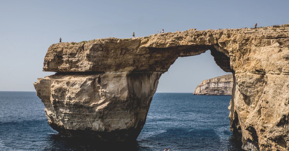
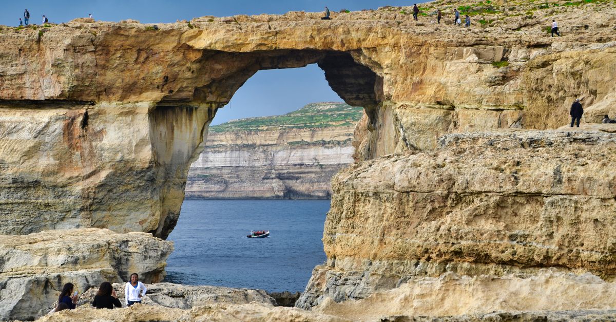
Double Arch is a stacked pair of natural limestone arches carved into Gozo's karst coastline. The upper arch is a swim-through at recreational depth; the lower arch is a wider passage at the base of a small wall. Structurally it's closer to Cirkewwa Right Arch on Malta's north tip than to the open-water arch geometry of Cominotto Arch, though the swell exposure differs sharply from both.
The naming is a persistent problem in search. "Double Arch" the shore/boat dive is a distinct site from Double Arch Reef, which is an entirely different formation with its own entry logic. Half the TripAdvisor confusion around this query stems from that collision.
Caveat: no publicly available hydrographic chart from Transport Malta covers this specific formation at survey resolution. Coordinates in circulation vary by up to 200 m between operator sites. Treat the GPS pin as approximate.
📐 Depth profile and site layout
- Top of upper arch: ~6–8 m
- Base of lower arch: ~16–18 m
- Rubble slope beyond: cited to ~28 m (operator-reported, unverified)
- Typical profile: Multi-level, ~45–50 min bottom time on air
- Recreational limit compatible: Yes at 18 m; no if you commit to the 28 m slope
A standard dive drops from the entry platform down a shallow reef to the upper arch at 6–8 m. Passing through it puts you on a sand-and-rubble channel that slopes toward the lower arch. The lower arch is wider and more cavern-like — no true overhead if you stay central, but a genuine swim-through geometry with light attenuation on either side. Beyond the lower arch the substrate breaks into a rubble slope that continues down; operators quote figures around 28 m for the outer edge, though this appears in only one briefing sheet we could find and does not match our internal depth record of 18 m maximum for the primary dive.
For most divers the site is a two-arch loop with a slow return along the shallow reef, well within a no-decompression profile. The site is not technical, but it is not trivial: the swim-throughs concentrate any surge that reaches the coast, and buoyancy control matters more here than at an open-reef site of comparable depth.
Caveat: we cannot reconcile the 18 m versus 28 m depth claims from public sources. If you're planning gas or a training dive around a specific max depth, brief with your operator on the day and trust their site-specific figure over ours.
🌡️ Water temperature and best months
- August peak SST: ~27 °C[1]
- February trough SST: ~14–15 °C[1]
- May–June range: 18–22 °C — 5 mm wetsuit territory
- September–October range: 22–24 °C — 3–5 mm depending on dive length
- Best combined window (temp + vis + swell): May–June and September–October
The Copernicus MEDSEA reanalysis[1] for the grid cell covering Gozo's south coast gives a monthly SST curve that peaks in August around 27 °C and troughs in February at 14–15 °C. The "3 mm year-round" wetsuit claim that circulates on operator pages is defensible only from roughly late June through early October; outside that window, a 5 mm suit is a comfort minimum, and January–March divers should be in 7 mm with a hood.
For a site that depends on swell state as much as temperature, the shoulder months are the honest recommendation. May–June combines warming water, spring visibility recovery after the phytoplankton bloom, and lower Gregale frequency. September–October is the warmest water you can dive without the July–August boat-traffic peak in Xlendi Bay.
Caveat: SST is a surface measurement. At 18 m in early season, thermocline effects can drop ambient temperature 1–2 °C below the surface reading. We do not have in-situ bottom-temperature logs for this site.
👁️ Visibility: what the data says vs. what operators claim
- Median summer visibility (Jun–Sep): 20–30 m (Copernicus KD490 proxy)[7]
- Median winter visibility (Dec–Feb): 10–18 m[7]
- Peak exceptional days: 35–40+ m, plausible but not planning-baseline
- Primary driver of poor vis: February–March phytoplankton bloom
- Compared to tropical arch dives: consistently below sites like Dhigurah Arches in the Maldives
Copernicus ocean-colour products give a diffuse attenuation coefficient (KD490) that we use as a proxy for water clarity[7]. Translated to horizontal visibility, the central Malta Channel sits at a summer median of 20–30 m and a winter median of 10–18 m. Both figures are considerably below the "30–40 m year-round" claim that appears on multiple Gozo operator sites.
Forty-metre days do happen — usually in late August or September, after weeks of stable stratification and no coastal runoff. They are not a planning baseline. Compared to warm-water Mediterranean arches like France's Arche du Plannier, Gozo tends to run marginally clearer in summer but with a similar winter drop.
Caveat: KD490 is a satellite-derived surface product. It does not measure in-water horizontal visibility directly, and it cannot see below the mixed layer. No systematic Secchi disk or underwater photometer dataset exists for this site in the peer-reviewed literature we could locate.
🐟 Marine life: what OBIS actually records
- High-confidence species (multiple OBIS records within 10 km): Octopus vulgaris, Scorpaena scrofa, Diplodus sargus, Coris julis, Thalassoma pavo[4]
- Frequently cited by operators, data-sparse in OBIS: Muraena helena, Epinephelus marginatus[4]
- Seasonal peak diversity: June–October
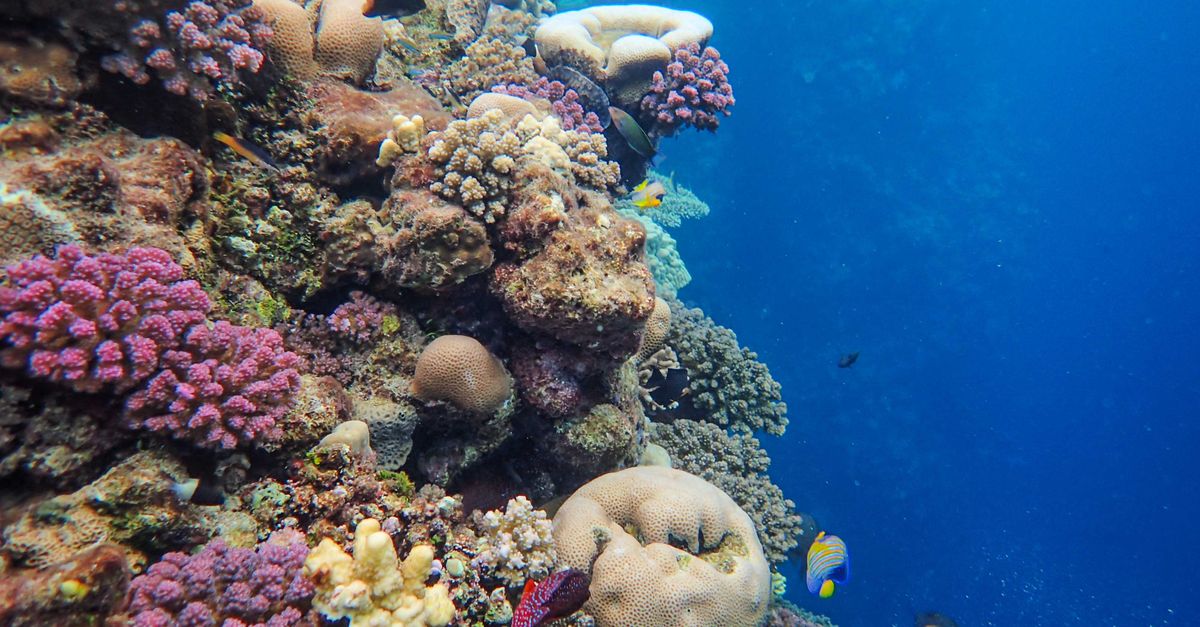
- Substrate: Coralline algae, sparse Posidonia oceanica patches on the sand channel
- Nudibranch potential: Present but underdocumented at this specific site
The OBIS API returns dozens of species records within a 10 km radius of the site to a 40 m depth cap[4]. The ones you can plan on seeing — because they have multiple georeferenced occurrences and are ecologically consistent with the habitat — are common octopus, red scorpionfish, white seabream, and the two ubiquitous Mediterranean wrasses, rainbow and ornate.
The two species most heavily promoted in operator marketing, moray eel and dusky grouper, are a different matter. Both are present in GBIF records for Malta broadly, but georeferenced sightings specifically at Gozo's south coast are sparse. That does not mean they aren't there — it means the survey effort at this site is lower than at Cirkewwa's marine reserve, and their presence should be reported as plausible rather than guaranteed.
Caveat: absence of a species from OBIS is not evidence of absence in the water. It is evidence that no one has submitted a georeferenced observation. Gozo's south coast is under-surveyed relative to Malta's north.
💨 Swell, current, and when not to dive it

- Problematic wind directions: NW (Majjistral), NE (Gregale)
- High-risk months for surge: December–February; sporadic March–April
- Shore entry threshold: Significant wave height < 1 m
- Boat entry threshold: Operator judgment; typically feasible to ~1.5 m
- Current inside the arches: Usually mild; concentrates in the swim-throughs on any swell
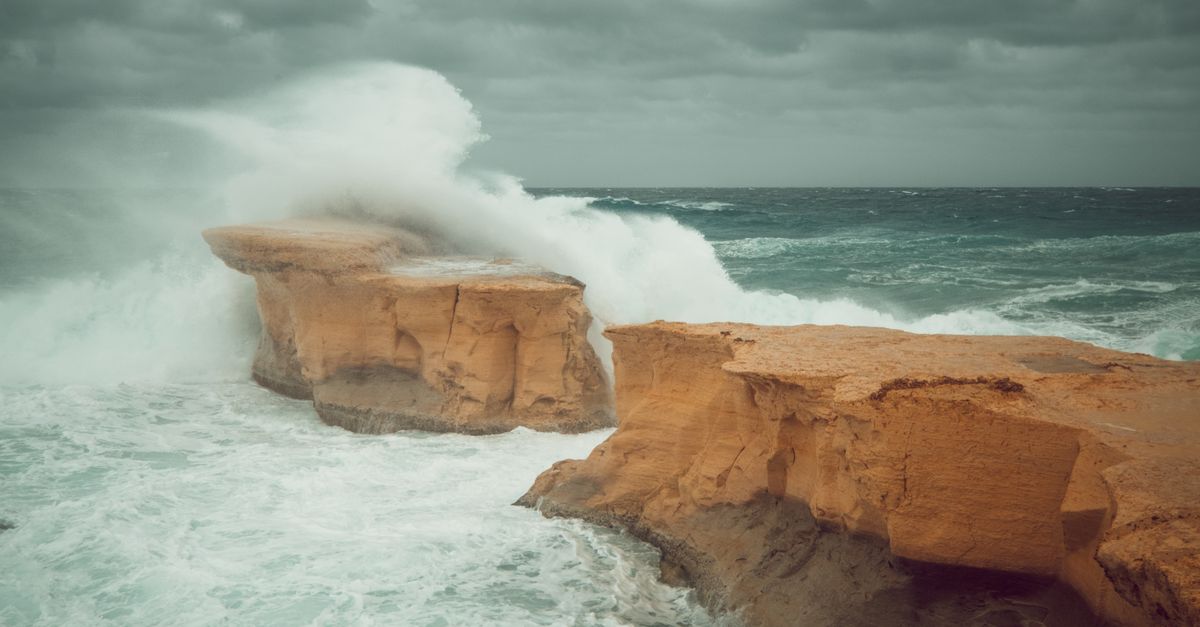
Open-Meteo hindcast data for 2010–2023[5] shows that Gozo's dominant winter wind directions are NW and NE, both of which push swell onto the south and southeast coast via refraction. The upshot for Double Arch is that the winter months carry meaningful surge risk even on days when the surface looks manageable from shore. The arch passages concentrate any swell energy that reaches the site; a 1 m swell outside becomes a noticeable push through the upper arch.
This is the section no operator wants to write because it costs bookings. If you are booking a Gozo trip specifically to dive Double Arch, build in at least two buffer days between November and March. Between May and October, the site is typically diveable on 20–25 days per month based on the wind climatology — good odds, but not a guarantee.
Caveat: the nearest Copernicus wave hindcast grid point[2] is ~15 km offshore. Nearshore wave transformation around Gozo's headlands is not captured. On the day, local operator judgment supersedes any climatology we can publish.
✈️ Getting to Gozo and choosing an operator
- Airport: Malta International (MLA); no direct Gozo airport
- Top feeder routes (OpenFlights): London LGW/LHR, Rome FCO, Amsterdam AMS, Frankfurt FRA
- Ferry: Gozo Channel Line, Ċirkewwa–Mġarr, ~25 min[10]
- Dive bases for south-coast sites: Xlendi (closest), Marsalforn
- Transfer time Mġarr → Xlendi: ~20 min by road
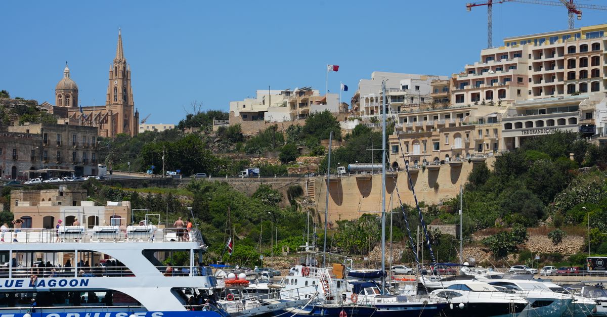
Reaching Gozo is a two-leg journey: fly into Malta, then ferry from Ċirkewwa on Malta's north tip to Mġarr on Gozo's east coast. The crossing takes about 25 minutes and runs frequently through the day[10]. OpenFlights route data shows the highest-frequency European connections to MLA are from London, Rome, Amsterdam and Frankfurt, with strong seasonal expansion from May through October.
For Double Arch specifically, Xlendi-based operators are the natural choice: shorter surface transit and site-specific familiarity. Compared to alternative arch dives in the region — Cominotto Arch off Malta's Comino channel, or French Mediterranean options like Rabiou Arche — the Gozo logistics are heavier but the site is less crowded.
Caveat: OpenFlights route data lags real-world schedule changes by months. Air Malta's 2023 restructuring reshuffled several routes; verify with the airline before booking.
❓ FAQ
How deep is Double Arch in Gozo? The upper arch sits at 6–8 m; the lower arch base is 16–18 m. A rubble slope beyond may extend to ~28 m, though this figure is operator-reported and not hydrographically verified.
Is Double Arch suitable for beginners? The shallowest part is within Open Water limits, but surge through the swim-throughs makes Advanced Open Water plus prior arch/cavern comfort a realistic minimum.
What is the visibility at Double Arch Gozo? Median summer visibility is 20–30 m based on Copernicus satellite water-clarity data[7]; winter drops to 10–18 m. Operator claims of 40+ m are exceptional, not typical.
What marine life can you see? OBIS records within 10 km confirm Octopus vulgaris, Scorpaena scrofa, Diplodus sargus and common wrasses[4]. Moray and grouper are plausible but data-sparse at this specific site.
Best time of year? May–June and September–October combine 20–24 °C water[1], recovered visibility, and lower Gregale swell risk[5].
Can you dive it from shore? Yes, from a rocky platform, but only in calm conditions (wave height < 1 m[2]). Boat drops from Xlendi are more reliable.
⚠️ What this list deliberately doesn't tell you
- No in-situ depth or temperature logs exist in the public domain for this site. Every depth figure — including ours — traces back to operator briefing sheets of unknown survey methodology. Until Transport Malta or a research group publishes a georeferenced bathymetric transect, the 6–28 m range carries irreducible uncertainty.
- OBIS coverage of Gozo's south coast is thin. Malta's biodiversity survey effort is heavily weighted toward Cirkewwa's marine reserve. Species lists at Double Arch are extrapolated from regional data, not site-specific transects. Absence from the dataset is not absence from the water.
- "Best season" is a climatological average, not a forecast. The May–June and September–October recommendation reflects 10+ years of hindcast data[1][5]. Any individual week can be blown out by a single Gregale event. Book with buffer days.
Spot a mistake, disagree with a depth figure, or have in-situ visibility logs we should factor in? Email [email protected] — we correct on evidence, not on volume of pushback.