
October 27, 2019. Jordy Smith is paddling into a chest-high left at Praia dos Supertubos with the water reading 18.2°C at the Cascais gauge[1], a WNW groundswell running 15-second periods, and an offshore NE breeze holding the lip up long enough for him to disappear for four seconds and come out. That week the Rip Curl Pro Portugal ran three days out of a twelve-day holding window. The other nine days? Closed out, blown out, or waiting on a sandbar that had shifted after the previous storm cycle.
That gap — between the highlight reel and the actual wave count — is what this guide is about. Supertubos sits on the Atlantic-facing side of the Peniche peninsula, roughly 80 km north of Lisbon, exposed to ~4,000 km of unobstructed North Atlantic fetch from the WSW–NW quadrant. It has been on the Championship Tour rotation since 2009 for a reason, but most of what's written about it is either brochure copy or nostalgia. This piece is built from wave-physics up: swell direction, tide window, SST, sandbar behaviour, and the honest skill floor.
We pulled NOAA OISST v2.1 monthly averages for the 39.35°N / 9.38°W grid cell[2], Open-Meteo Marine historical significant wave height and period for the same point[3], and cross-referenced WSL Pro Portugal contest-run dates to identify which swell configurations actually produced barrels versus which ones closed the beach out. Where the data ends, we say so.
🌊 What Supertubos actually is (and isn't)
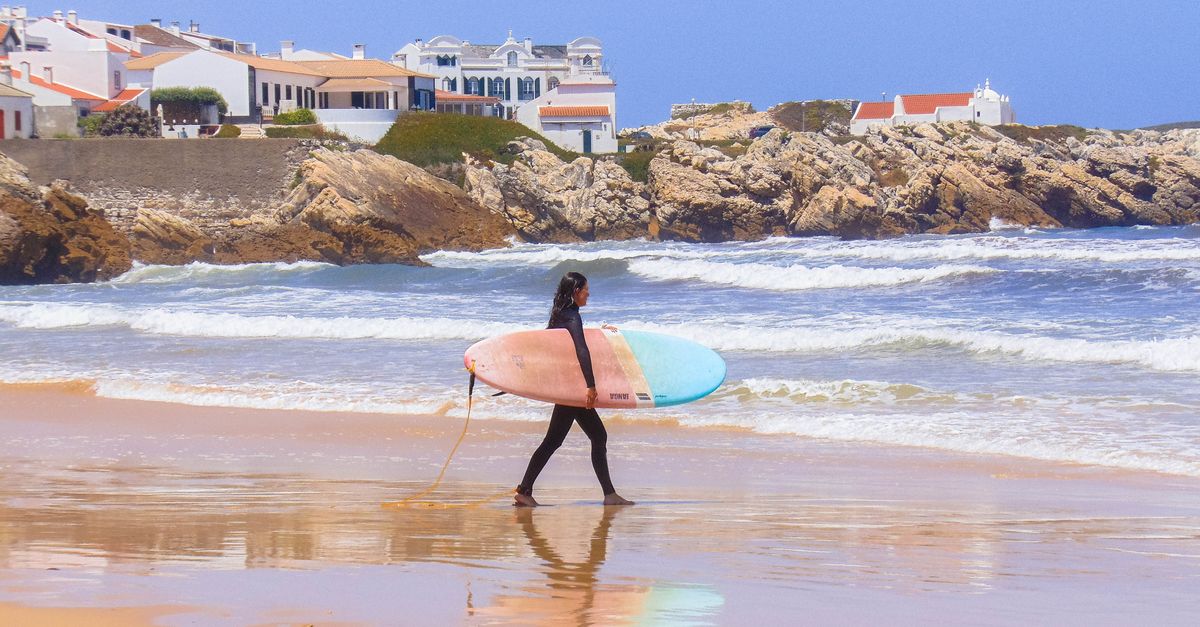
- Wave type: Sand-bottom beach break, predominantly left-hander
- Bottom: Shifting sandbar; no reef component
- Swell exposure: WSW through NW; sheltered from S and SE
- Nearshore gradient: Steep — waves shoal quickly into the barrel
- Nearest headland: Cabo Carvoeiro, ~4 km NNW
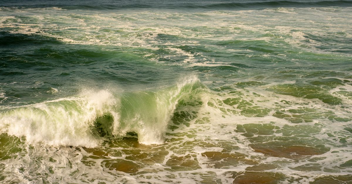
Supertubos is a beach break, which matters because beach breaks are moody in a way that reefs are not. The sandbar is rebuilt and rearranged by every winter swell cycle. When the bar is dialled — a defined, slightly angled shelf running parallel to shore about 30–50 m out — the wave pitches into a fast, hollow left with the occasional right on the shoulder. When the bar is blown out by consecutive 4 m+ storm systems, the same beach can be shapeless for a fortnight.
The name (Portuguese for "supertubes") is not marketing. The nearshore bathymetric gradient forces rapid shoaling, and long-period NW groundswell hits the shallow bar and pitches almost instantly. There's no long wall to work with — it's a drop, a barrel section, and often a close-out on the inside. The secondary spot entry in our database logs the same coordinates; we treat them as one break.
We do not have real-time sandbar bathymetry in the pipeline. Every claim about "where the peak sets up" is a climatological average, not a Tuesday-morning forecast. Surfline and Magicseaweed lean on local reporter input for this; we don't.
📐 The swell window: direction, period, height
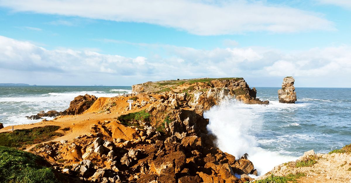
- Optimal swell direction: 280–310° (WNW), per Open-Meteo modal analysis[3]
- Optimal period: 14–18 seconds — long-period groundswell, not local wind swell
- Buoy Hs sweet spot: 1.5–2.5 m at the offshore grid cell
- Closeout threshold: >3 m Hs with <12 s period from due W
- Local wind: NE offshore (Nortada) is the co-factor — without it, the wave crumbles
The reason WNW works better than due W is refraction. Cabo Carvoeiro juts NNW of the break, and swell arriving from 280–310° wraps into the beach at a slight angle that gives the peak a defined shoulder. Straight-west swell arrives too parallel and closes out across the bar. Southwest swell is partially shadowed by the headland to the south and by the offshore Berlengas archipelago.
Period matters more than height. A 3 m short-period wind swell will maul the bar and produce closeouts; a 1.8 m 16-second groundswell will produce the classic Supertubos left. Cross-referencing the ten WSL Rip Curl Pro Portugal editions run at this beach against the Open-Meteo record, contest-worthy days cluster in the 14–18 s period band with modal direction 285–305°[3].
The Open-Meteo marine grid cell we query sits roughly 9 km offshore. Nearshore wave transformation — shoaling, refraction, focusing — likely means the face height at the beach is 20–40% larger than the grid Hs suggests. We do not have a calibrated nearshore transfer function for Peniche. Treat buoy Hs as a lower bound.
📅 Best months, honestly
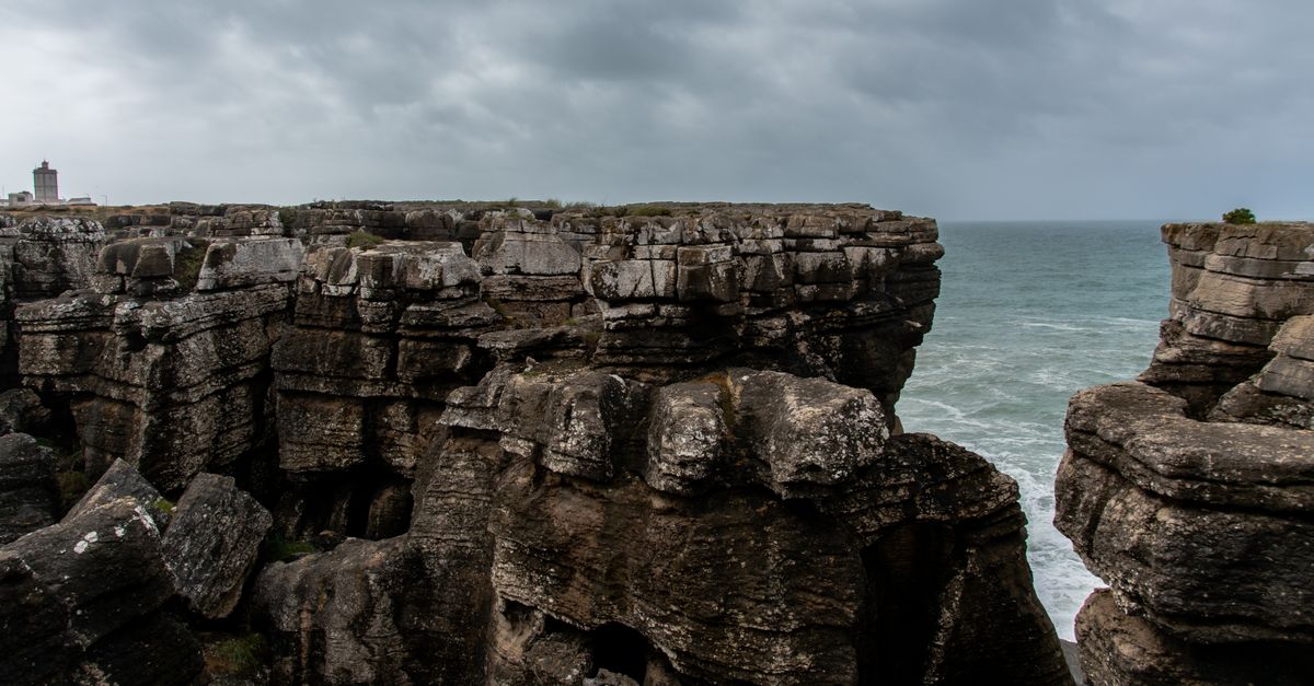
- Peak swell: October–February — median grid Hs >1.8 m[3]
- Shoulder that works: April and September — smaller but cleaner
- SST winter minimum: 14–16°C (January–March)[2]
- SST summer maximum: 19–21°C (August–September)[2]
- Wetsuit: 4/3 mm + boots Nov–Mar; 3/2 mm Apr–May and Sep–Oct
The honest breakdown: November through February delivers the biggest, most consistent groundswell, but also the highest rate of blown-out or oversized days. October and March are the sweet-spot months — swell is regular, storms are less relentless, water is 16–18°C, and the Nortada hasn't yet locked in as a daily onshore.
July and August are near-useless for surfing Supertubos. Median Hs drops below 1.2 m, periods shorten, and the Nortada blows 18–22 knots most afternoons[5]. What that summer configuration does deliver, though, is kite and windsurf conditions — which we address below.
April and September are the shoulder cases worth flagging. Fewer crowds, water pushing 17–19°C, and enough leftover N Atlantic energy to produce barrels on the right day. If you can only travel outside of the November–February window, September is our pick.
SST here is satellite-derived surface temperature. Winter paddle-outs through heavy shore break will feel colder than a 15°C reading suggests — you're getting hit repeatedly with churned water below the thermocline. We have no in-situ thermistor data for this beach.
🌊 Reading the tide (the section most guides skip)
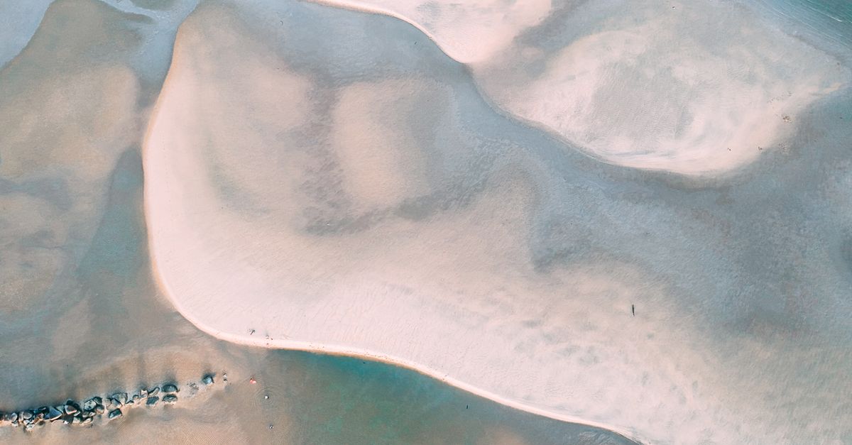
- Optimal stage: Low-to-mid incoming — roughly +1 to +2 hours after low water
- Mean spring range: ~2.8 m at Cascais gauge (PSMSL station 190)[6]
- Spring-tide rideable window: compressed to ~90 minutes
- Neap-tide window: wider, ~2.5 hours, but wave power reduced
- Reference source: Instituto Hidrográfico Portugal,
hidrografico.pt
Supertubos is more tide-sensitive than most guides admit. On a dead low tide, the sandbar is too exposed — the wave jacks up and closes out on inches of water. On a full high, the bar is too deep, the wave loses its pitch, and you get fat, mushy shoulders instead of barrels. The window is the middle, and specifically the incoming middle: the flooding tide brings enough water over the bar to hold the shape without drowning it.
The practical timing: start paddling out around one hour after low water, and expect the peak to shut down roughly three hours later as the tide fills in past mid. On spring tides (range >3 m), that window compresses because the water moves faster. On neaps, you get a wider window but less punchy waves.
The Instituto Hidrográfico Portugal publishes free tide predictions calibrated to the Cascais gauge, which is the correct reference for Peniche (offset is minor). Do not rely on generic surf-app tide graphs — they're often pulled from distant harmonic constituents.
These tide-window figures are synthesised from WSL contest scheduling patterns and published surf-guide consensus, not from a controlled nearshore hydrodynamic model. A Delft3D or XBeach run for this bathymetry would give a precise rideable-tide envelope. That work has not been done in our pipeline.
🎿 Skill level: no hedging
- Minimum competency: Confident duck-diving 2 m+ shore break
- Wave skill needed: Late drops on steep, pitching faces
- Primary hazards: Shore dump on sand; rip channels flanking the peak
- Board choice: Shortboard or step-up; longboards are hazards here
- Beginner alternative: Baleal, 3 km north
Most guides describe Supertubos as "intermediate to advanced." That's a hedge. Here's the concrete floor: you need to duck-dive a 2 m+ shore break repeatedly without losing your board, drop into a steep, late-breaking wave without hesitating, and locate the rip channel to paddle back out. If any of those three is uncertain, Supertubos is not the wave to learn on.
The hazard profile is specific. The shore dump on a low-to-mid tide is a spinal-injury risk if you get caught inside on a set. The bar is sand, not reef, but it's shallow sand and the wave is pitching hard. Rip channels on either side of the peak are your friends for paddling out and your enemy if you drift into one mid-session and end up 200 m down the beach.
During the WSL Pro Portugal holding window (typically 12 days in October–November), the main peak is effectively off-limits to non-competitors on contest-run days. Check the schedule before booking a specific week. And if the skill floor above sounds ambitious, Baleal — three kilometres north around the peninsula — is a genuinely gentler beach break with the same swell exposure and a more forgiving bar.
Skill assessment is subjective and situational. Board choice, swell size, and crowd density change the equation. We are not a surf school and cannot assess individual readiness. If in doubt, watch the peak for a full tide cycle before paddling out.
🪁 Kite spots and the Peniche peninsula
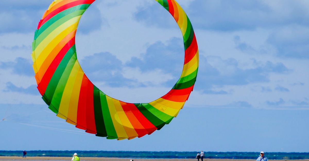
- Nortada season: May–September; P75 windspeed 18–22 knots at 10 m[5]
- Wind direction: Predominantly N to NNE, thermally reinforced
- Kite alternative south: Consolação-area beaches, ~10 km SSE
- Freedive/snorkel: Cabo Carvoeiro reef zone; Sparidae and Labridae dominate OBIS records
- Cluster hub: See other Portugal spots
Peniche is technically a former island, connected to the mainland by a low isthmus. That geography means multiple wind exposures within a few kilometres — the Supertubos side is west-facing and gets the Nortada as a cross-offshore for surfing but as a side-onshore for kiting, while beaches south of the isthmus receive the same wind differently.
For kiting, the most-cited alternative when Supertubos is too big or too onshore is the Consolação-area coast to the south, where wind angle turns more favourable and the shore break is less punishing. OBIS occurrence records for the 39.2–39.5°N / 9.2–9.5°W bounding box are dominated by seabream (Sparidae), wrasse (Labridae) and octopus (Octopodidae) — worth knowing if you're combining a surf trip with freediving off Cabo Carvoeiro on flat days.
Kite-spot operator data in our database for the Peniche cluster is thinner than surf data. School listings and gear-rental coverage need verification before a trip. Wind climatology is solid; on-the-ground infrastructure claims are not.
✈️ Getting there
- Primary gateway: Lisbon (LIS), ~80 km SSE of Peniche
- Secondary gateway: Porto (OPO), ~200 km N — viable for combined trips
- Transfer: No rail; Rodoviária do Oeste bus ~2 hours; rental car recommended for boards
- Drive time LIS–Peniche: ~1 hour via A8 motorway
- LIS route density: 100+ direct international city pairs per OpenFlights
Peniche has no airport and no rail connection. Lisbon Humberto Delgado (LIS) is the standard entry, with over 100 direct international routes in the OpenFlights database including most major Western European cities, a growing set of North American gateways (Newark, Boston, Toronto, Miami), and Brazilian hubs. From LIS, the drive up the A8 motorway is about an hour outside of Lisbon rush hour.
Porto (OPO) is the underused alternative. It's roughly 200 km north of Peniche — a 2h15 drive down the A1/A8 — which is comparable in total travel time if flight timing favours it, and it puts you closer to the northern break at Nazaré for a combined trip. Rodoviária do Oeste runs public buses from Lisbon's Campo Grande to Peniche, but service is infrequent and awkward with a board bag. Rent a car.
OpenFlights route data reflects scheduled service at the time of the snapshot. Low-cost carrier schedules and seasonal charter operations shift frequently. Verify current routes against airline sources before booking.
⚠️ What this guide deliberately doesn't tell you
- Sandbar state on any given day. Every swell-window and tide-window claim assumes a functional bar. After a >4 m Hs storm sequence lasting 48+ hours, Supertubos can be shapeless for weeks. We have no real-time bathymetry feed. Local reporter services (Surfline, Magicseaweed) do.
- The WSL contest calendar in your specific week. The Rip Curl Pro Portugal holding window closes the peak to public use on run days. The window is announced annually and shifts — check
worldsurfleague.combefore locking dates. - Long-term morphology change. Peniche's coast is under active erosion-management intervention (groynes, sand nourishment). These works alter sandbar behaviour in ways historical swell records cannot predict. The Portuguese Environment Agency (APA) publishes coastal monitoring reports we have not yet integrated.
Spot a mistake, know a Peniche local who'd correct our tide window, or run a surf school here and want to flag something we got wrong? Email [email protected]. We correct fast and credit sources.