
On a Tuesday in March, the freshwater layer at the mouth of Sac Actun holds at 24 °C[1] — the same 24 °C it held last August, the same it will hold in December. Above the halocline, the water is rain that fell on the Yucatán limestone platform over the last few thousand years and drained downward through a karst network so extensive that surveyors are still adding kilometres to the map each quarter.
The Quintana Roo Speleological Survey lists Sac Actun–Dos Ojos at 376+ km of mapped underwater passage as of its most recent public survey update, making it the longest known underwater cave system on Earth. That number is not travel-brochure decoration. It is the physical fact around which every decision — certification, seasonality, insurance, gear, cenote choice — has to be organised.
This piece is not a countdown. It is a decision tree for anyone considering putting their head underwater in the Yucatán, built from what the data actually says (SST records, OBIS biodiversity queries, OpenFlights routes, agency certification standards) and honest about where the data runs out — which, for cenotes, is sooner than the internet pretends.
🗺️ What you're actually diving into: the Sac Actun hydrology
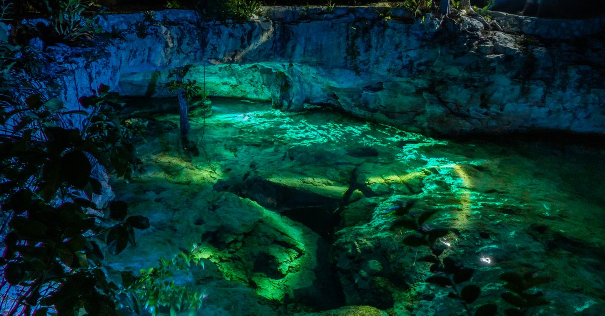
- Water temp (freshwater layer): 24 °C year-round[1]
- Water temp (saltwater layer): 25–26 °C below halocline[1]
- Halocline depth: 8–12 m inland; 4–6 m within 3 km of coast
- Mapped Sac Actun passage: 376+ km
- Formation: Pleistocene sea-level cycles carving Cretaceous-Eocene limestone
The system is a flooded karst network — surface rain percolating through fractured limestone, dissolving passages over hundreds of thousands of years, then filling with fresh water that floats on top of intruded seawater from the coast. Where the two meet is the halocline: a visible, shimmering interface of density contrast. Divers passing through it see something that looks like heat haze underwater. Silty fin kicks in the halocline don't just cloud water; they mix two chemically distinct water masses that the cave has spent millennia stratifying.
The freshwater layer sits at that steady 24 °C because it is buffered by the enormous thermal mass of the surrounding rock. Copernicus Caribbean SST data confirms the surface Caribbean runs 26–29 °C seasonally[1], but the cenotes decouple from surface variability almost entirely. A 3 mm wetsuit is the working baseline; some divers prefer 5 mm on longer penetrations.
QRSS mapping is ongoing and figures update quarterly. Any single cited passage-length number is a snapshot; the real answer is "longer than last time you checked." Sac Actun and Dos Ojos were also merged into a single hydrologically connected system in 2018, which changed all previous rankings overnight.
🪪 The certification ladder is not a formality
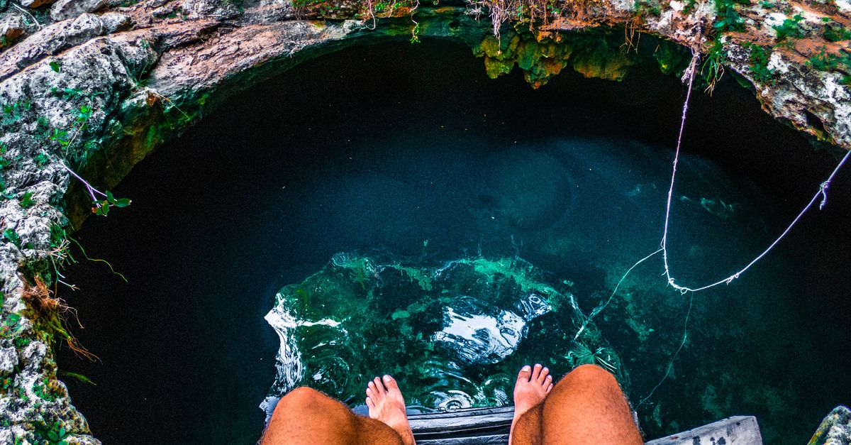
- Cavern: Natural light always visible; ≤60 m linear penetration; ≤21 m depth (TDI standard)[3]
- Intro to Cave: Single continuous guideline; no natural light; ~25 logged dives typically required[3]
- Full Cave: Multi-line navigation, jumps, gaps; 100+ logged dives commonly required before enrolment[3]
- Agencies operating in MX: TDI, IANTD, NSS-CDS, GUE, NACD
- Guide requirement: Open Water divers may enter cavern zone only with a certified cavern/cave guide
The fatality pattern in Yucatán cenotes is unambiguous in the incident literature aggregated by NSS-CDS and DAN: open-water certified divers who exit the cavern zone — the area of continuous natural light — into the cave proper without cave training account for the overwhelming majority of recorded deaths[4]. The failure mode is almost always the same: a diver follows a guideline past the daylight, silts out the passage on the way in, and cannot navigate back.
The cavern zone is genuinely accessible to Open Water divers with a competent guide. Dos Ojos and Gran Cenote run daily cavern tours that never leave line-of-sight to the surface opening. This is fine, ethical, and reasonable. What is not fine is the informal upsell — the "we can go a bit further" that some smaller operators offer to certified divers with no cave training. If a briefing includes the phrase "just stay close," you are being invited into a statistical category you should not enter.
Certification prerequisites vary by agency. TDI's Intro to Cave minimum is not identical to NSS-CDS Cavern-1, and instructor discretion adds a further layer of variance. The numbers above are typical, not universal. Verify with your intended agency before booking training.
📅 When to go: visibility, rain, and the tannin problem
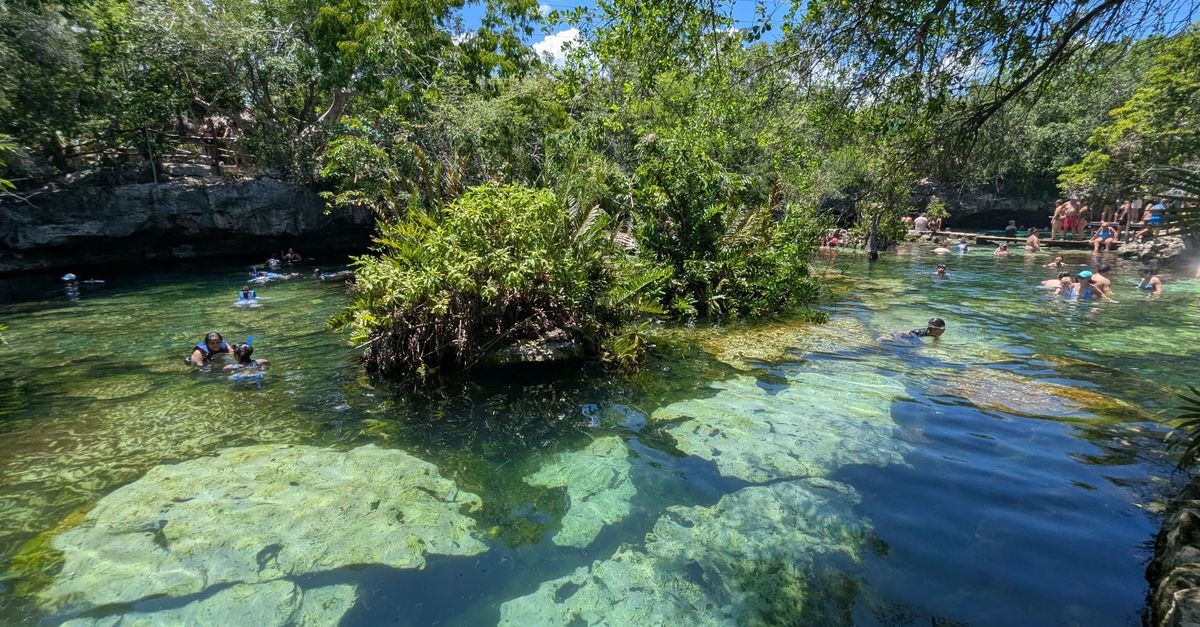
- Best visibility months: November–May (dry season)
- Worst months: September–October (peak rain + hurricane season)
- Rainy season precipitation: June–October averaging 120–180 mm/month in Tulum[5]
- Tannin intrusion: Documented in Car Wash / Aktun Ha, Angelita, and cenotes with thin overburden
- Hurricane peak: Mid-August through late September (NOAA NHC climatology)
Yucatán rainfall doesn't flood cenotes visibly — the karst absorbs it — but water percolating through jungle leaf litter carries dissolved tannins into cenotes with shallow overburden or open surface pools. Car Wash / Aktun Ha is the textbook example: in dry-season photographs the surface is glass, and below the tannin layer visibility opens to 40+ m; in September, the top 2 m turn tea-brown and the cavern-zone light show disappears entirely.
Deep systems with thick limestone caps (parts of Sac Actun accessed via inland entries) are less affected. Coastal-adjacent cenotes tend to be more stable because the halocline itself acts as a sediment trap. But there is no instrumented, publicly available visibility dataset for cenotes. Every seasonal visibility figure in travel writing — including any this article implies — originates in operator logbooks and forum posts, not turbidity sensors.
Flights into Cancún (CUN) drop precipitously in price in September and October because of hurricane risk. If a trip window can shift by two weeks, moving from late September into early November transforms both flight costs and cave visibility. This is the single biggest lever most divers ignore.
Cenote visibility has no NOAA or Copernicus equivalent. It is not measured systematically. Treat all seasonal visibility numbers as operator consensus, not as data.
🦎 What lives in there, and why it matters if you're not a biologist
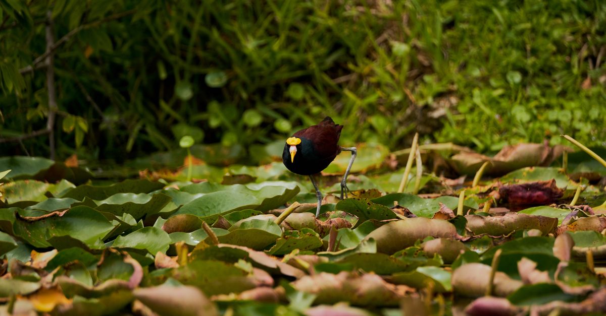
- OBIS stygobitic records (MX): 30+ documented anchialine taxa in Quintana Roo[7]
- Endemic crustaceans: Typhlatya shrimp species found nowhere else
- Blind fish: Ogilbia pearsei and related brotulid species
- Sediment settling time: Fine calcite silt can remain suspended 48–72 hours after disturbance
- Biological isolation: Many populations are single-system endemics
Stygobitic — meaning obligate cave-dwelling — fauna in the Yucatán evolved in near-total darkness, in water chemistry that has not changed appreciably in tens of thousands of years. GBIF occurrence records for Typhlatya show the genus concentrated in Yucatán, Cuba, and a few other Caribbean karst regions, with several species described from single cenote systems. If a population is wiped out of one system, there is nowhere else it exists.
A silt-out from a poorly trimmed diver does two things. In the short term, it destroys visibility for whoever comes next. In the long term — and this is where the biology matters — suspended calcite in the water column changes light penetration and nutrient distribution in a habitat that is defined by having neither. There is no published dose-response study on tourism impact in Quintana Roo cenotes, so the precautionary framing is exactly that: precautionary. But the geological time-scale of these communities is not something an individual diver can recover.
OBIS coverage of anchialine systems is patchy. Records overwhelmingly come from targeted scientific expeditions, not systematic surveys. The true species count is almost certainly higher than published numbers. This is a data gap, not a completed inventory.
✈️ Getting there without the resort markup

- CUN direct routes: 40+ international origins across North America, Europe, and South America
- MID (Mérida) direct routes: Primarily Mexican domestic + select US cities (Houston, Miami, Dallas)
- CUN → Tulum ground transfer: ~130 km, 1.5–2 hours by ADO bus or rental car
- MID → Homún cenote cluster: ~70 km, 1 hour
- Tren Maya: Partial service now links CUN corridor to Tulum and Mérida (verify current schedule)
Cancún is the default gateway for Tulum-area cenotes (Dos Ojos, Gran Cenote, Car Wash, Sac Actun entries). Mérida is the smarter arrival airport for the northern Yucatán cenotes around Homún and Cuzamá — different systems, freshwater without the coastal halocline, smaller and more agricultural in character. The OpenFlights route database shows a dense CUN network and a much thinner MID one, but MID cuts an entire day of ground transfer if the northern cenotes are the target.
The Caribbean karst platform doesn't stop at the border; the same limestone shelf extends south into Belize, where reef diving at Ambergris Caye sits over a hydrologically related structure. For divers comparing cave-diving certification pathways elsewhere, St John's Caves and The Caves in Egypt offer Red Sea cave and swim-through diving without haloclines, and Zakynthos Keri Caves and Crete's El Greco Cave sit within European cavern-zone frameworks. Cave Lagoon and Bat Cave in Indonesia are the closest anchialine and cavern-zone analogues in Southeast Asia, and Bubble Cave in Australia sits within the Southern Hemisphere cave-diving world.
OpenFlights data lags real-world schedules by up to twelve months. Seasonal charter routes from Europe (especially winter sun packages) come and go without updating the dataset. Confirm current service with the airline before booking.
🧭 Four systems worth understanding, not ranking
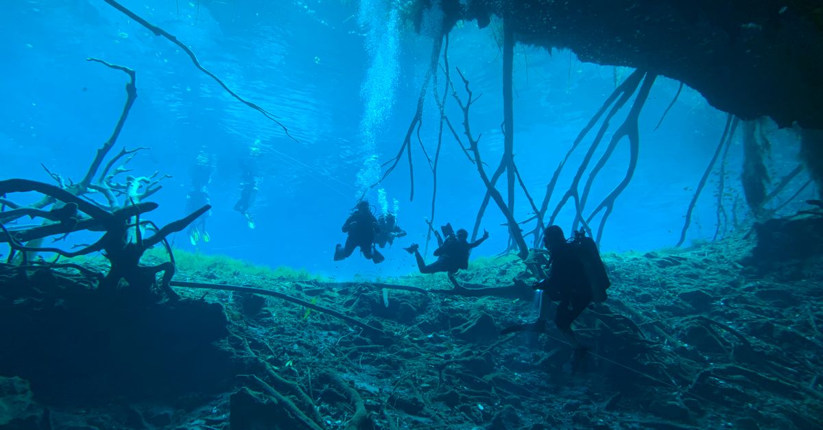
- Sac Actun / Nohoch Nah Chich: 376+ km mapped; multiple entry points; full range of cavern-to-full-cave profiles
- Dos Ojos: Twin-cavern entry; strong cavern-zone light beams; ~10 m max in cavern zone; high tourist volume
- Gran Cenote: Shallow (5–8 m cavern zone); wide light-filled chambers; ideal for cavern-guided Open Water divers
- Car Wash / Aktun Ha: Seasonal surface tannin layer; lily-pad ceiling; halocline ~8 m; distinctly different aesthetic
The useful question is not which is "best" but which hydrological feature is worth understanding first. Gran Cenote is where the cavern-zone concept becomes physically obvious: the light zone is enormous, the exits are always visible, and a competent Open Water diver with a guide can genuinely comprehend what the cavern-cave boundary is without ever crossing it. Dos Ojos is the industrialised version — same principle, more divers per hour, more polished dive centres, the same instructive geology. Car Wash is where seasonality becomes visible: a dry-season dive and a wet-season dive at the same cenote look like different sites, and understanding why is a compressed hydrology lecture. Sac Actun is where certification matters most, because the scale means the consequences of wandering are worst.
None of these are ranked. A diver picking between them should be asking what certification they hold, what hydrological feature they want to see, and what season they are travelling in — in that order.
⚠️ What this list deliberately doesn't tell you
- Visibility figures are not instrumented. Every seasonal visibility number for Yucatán cenotes originates in operator logs or forum reports. There is no NOAA, Copernicus, or academic dataset with systematic turbidity or Secchi-disk measurements for these systems. Treat operator numbers as consensus, not data.
- Your certification may or may not be accepted. Mexican cenote operators apply certification standards inconsistently. A CMAS 3-star, a PADI Advanced Open Water, and a TDI Cavern diver may be treated identically or differently at the same cenote in the same week. This article cannot tell you what any specific operator will accept on any specific day.
- DAN Travel does not cover cave diving by default. Standard DAN policies exclude cave diving; a Cave Diving rider or specific policy tier is required[9]. Check your policy language before travel. Ejido access fees (MXN 100–500+ per person) at community-managed cenotes change without notice and are not consolidated in any public database.
If you spot a factual error, a broken source link, or a place where our data has gone stale — write to [email protected]. We update spot pages and articles from reader corrections weekly, and OWA does not yet have individual spot pages for Sac Actun, Dos Ojos, Gran Cenote, or Car Wash. Those are next.