Skip to content
OpenWaterAtlas
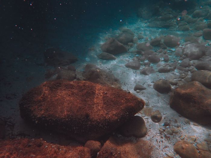
A tranquil underwater view showcasing rocks and stones on the ocean floor, with natural light filtering through water.
📷 Francesco Ungaro · Pexels

Sentier marin archéologique d'Olbia

4.0 — based on 20 community signals
4.3 12 especies 40 colaboradores

Explore submerged ruins at France's underwater archaeological trail in the Port-Cros marine park near Hyères.

⭐ Best for advanced divers.

🐢 MPA · Parc national de Port-Cros (ai… updated 4 months ago
Dificultad
Avanzado
ArchaeologicalSiteMPAGuidedDiveRequiredShore entry
+2 más
AdvancedOnlyPhotoFriendly

De un vistazo

Actividad
dive
Dificultad
advanced

Mejores operadores aquí

Ver todos los operadores ↓

Mapa

Este spot Operadores Aeropuerto Spots cercanos
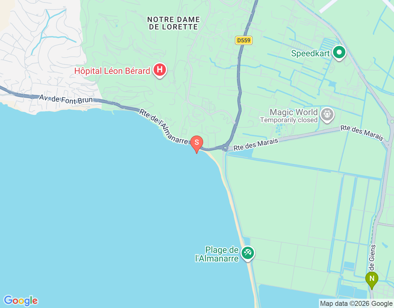
Mapa de ubicación de Sentier marin archéologique d'Olbia © Google · Datos del mapa © Google, colaboradores
Abrir en Google Maps

Condiciones hoy

Condiciones

Open-Meteo
Viento
6.8 kn
Olas
0.84 m
Agua
23°C
N E S W
Wind direction (7d)
Primary: N (29%)
Now: N (357°)
Marea (7 días)
amplitud: 0.25m

Próxima: Baja a las 05:00 (-0.53m)

+-0.4 m-0.7 m
▼ 05:00 · -0.53m ▼ 08:00 · -0.55m ▲ 15:00 · -0.47m ▼ 17:00 · -0.48m
Sáb 19Dom 20Lun 21Mar 22Mié 23Jue 24Vie 25
UV5.15 · mod Aire PM2.55 · good 07:19 19:38
Día Viento Olas UV Lluvia
09-19 15.7 0.88 5 0mm
09-20 7.2 0.32 5 0mm
09-21 6.5 0.34 6 0mm
09-22 6.1 0.16 6 0mm
09-23 8.8 0.08 5 0mm
09-24 6.9 0.42 5 0mm
09-25 6.4 0.52 5 0mm

About this spot

Sentier marin archéologique d'Olbia is a guided underwater trail featuring the remains of an ancient Greek settlement off the coast of Provence. Located within the adjacent waters of Parc national de Port-Cros, this site offers divers a rare chance to explore cultural heritage alongside natural marine environments. The trail is designed to protect the archaeological context while allowing public access under park regulations. The site preserves structures and artifacts from Olbia de Provence, a classical-era settlement that once thrived on this Mediterranean coast. Divers following the marked route encounter submerged foundations, pottery, and other archaeological features in their original seabed context. The combination of history and marine life makes this a unique technical and cultural experience. Access is managed through the Port-Cros national park authority to ensure both archaeological preservation and diver safety. The trail operates year-round, though seasonal conditions affect visibility and comfort. Community-documented observations include 12 recorded species, and several underwater videos document the site's condition and layout. This is a specialized dive requiring respect for protected archaeological zones and national park protocols. Divers should verify current access requirements and any mandatory guided tour arrangements before planning a visit.

📖 Guía: Buceo en Francia: 220 Lugares Desde Lagos Alpinos Hasta Arrecifes Tropicales

Tipos de buceo

Arrecife

Esenciales del viaje

Todo lo que necesitas antes de hacer la maleta — checklist, sol, logística.

Trip checklist

  • 🛂 Visa-free or visa-on-arrival
  • 📜 C-card + dive insurance (DAN)
  • 📔 Dive logbook
  • 🧴 Reef-safe sunscreen SPF 50+
  • 🔌 Plug type C/E/F · 230V adapter
  • 💊 Seasickness meds + ear drops
  • 📱 Offline maps + emergency contact

Quick facts

  • 🌓 Moon First quarter · 47%
  • GPS
Información de sostenibilidad
🌍 CO2 footprint MAD ↔ 853km · ~196kg · €4

Preguntas frecuentes

When is the best time to dive Sentier marin archéologique d'Olbia?

The site is accessible year-round. Summer months (June–September) typically offer warmer water and calmer seas, while winter diving requires more experience. Contact Parc national de Port-Cros for current seasonal conditions and any access restrictions.

What is the depth and difficulty level?

Specific depth and difficulty ratings are not published. This is an archaeological site within a national marine park, so experienced divers familiar with wreck and shallow-reef navigation are best suited. Always check with local authorities for current conditions before diving.

What marine life will I see?

Twelve species have been documented at the site. Mediterranean fauna typical of rocky reefs and shallow structures are expected, including fish, crustaceans, and invertebrates. The exact species list and seasonal availability should be confirmed with park information services.

How do I access the site and what permits are needed?

The trail is located in the Parc national de Port-Cros adjacent marine zone near Hyères, Var. Access is regulated by the national park authority. Divers must comply with all park rules, which may include mandatory guided tours, permits, or seasonal closures. Contact the park office in advance to arrange entry.
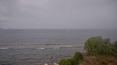
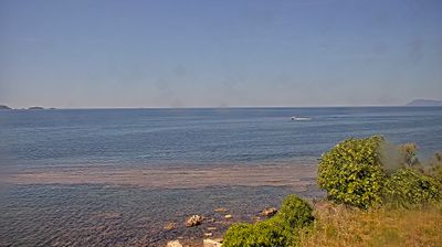
Míralo en directo

Webcams en directo en este spot (dentro de 500 m). Windy.com

Operadores cerca de este spot

Centros de buceo, escuelas de kite y surf en un radio de 10 km, desde OpenStreetMap.

Mio Palmo

2.9 km
Centro de buceo

Sentier marin archéologique d'Olbia

0 km
Centro de buceo

Scubazar

2.1 km
Centro de buceo
Horario: Tu-Sa 10:00-18:00

Ulysse Plongée

4.5 km
Centro de buceo

Ulysse Plongée

4.5 km
Centro de buceo
Horario: 08:30-12:00,14:00-18:00

Wing & Kite

4.6 km
Escuela de kite

Recently spotted by divers

iNaturalist →

See this spot in action

YouTube videos — click to play.

Recherches sous-marines sur le site archéologique d'Olbia à Hyères

France 3 Provence-Alpes-Côte d'Azur

Sentier sous-marin archéologique d'Olbia - 16/08/2019

Sofian Djeghdir

Sentiers sous-marins archéologiques Olbia et Tour Fondue

Nicolas Ponzone
💬 2 top comments
  • Sentiers sous-marins archéologiques Olbia, Hyères

    @nicolasponzone7353 · 👍 0
  • Bravo. On l'intègre dans l'article sur les amphores à La Madrague http://www.hyeres-tourisme.com/article/plongee-dans-lhistoire #hyeres   #hyerestourisme   #immersion   #sentier   #sousmarin  

    @provence_med · 👍 2
wind peaks Mar-Jul-Nov, calmest Dec-Feb-Aug, dry Jan-Dec.

Clima mensual de 5 años

60 muestras
0 5 10 15 20 25 JFMAMJJASOND
rango p25–p75 Mediana Viento (nudos) Aire (°C)
Visibility (month-by-month)
Best: Jun (100/100) Worst: Apr (0/100) Now: Sep (100/100) NOAA MODIS Aqua · 5y mean

Spots cercanos

L'Escale France Buceo
🇫🇷 France

L'Escale

L'Escale is a protected dive site in France's Port-Cros National Park, open year-round with documented marine life.

Principiante Ene·Feb·Mar+
Wing & Kite France Kitesurf
🇫🇷 France

Wing & Kite

Year-round kite spot in France's Port-Cros national park periphery. Protected waters with recorded marine activity.

Ene·Feb·Mar+
Mustang P51 France Buceo
🇫🇷 France

Mustang P51

Mustang P51 is a wreck dive in France's Port-Cros National Marine Park, accessible year-round with consistent marine life sightings.

Intermedio Ene·Feb·Mar+

Similar spots

Same activity, shared marine species or similar profile.

Les Canons France Buceo
🇫🇷 France

Les Canons

Les Canons is a protected dive site in France's Calanques National Park, offering year-round access to a unique underwater environment.

Avanzado Ene·Feb·Mar+
Cova de la Reina Spain Buceo
🇪🇸 Spain

Cova de la Reina

Cova de la Reina is a protected cave dive in Spain's Medes Islands marine reserve, offering year-round access and rich biodiversity.

Avanzado Ene·Feb·Mar+
Buceo
🇪🇸 Spain

Cabo de Palos — Las Hormigas

Advanced dive site off Spain's southeastern coast featuring walls and reefs from 18–50m. Year-round access to rocky formations and marine life.

Avanzado 18–50m
Axwell United Kingdom Buceo
🇬🇧 United Kingdom

Axwell

Axwell dive site near Sussex rocks offers year-round UK diving with accessible rocky terrain and strong community interest.

Avanzado

Sugerir un operador

¿Conoces un buen centro de buceo, escuela de kite o guía local en este spot? Cuéntanos — lo revisamos y lo añadimos.

Hasta 500 caracteres
Planear
View →